Culture
The Forgotten Kingdoms That Shaped Nepal’s History: A Map Before Unification
EverestBlog AI · Nov 1, 2026 · 21 min read
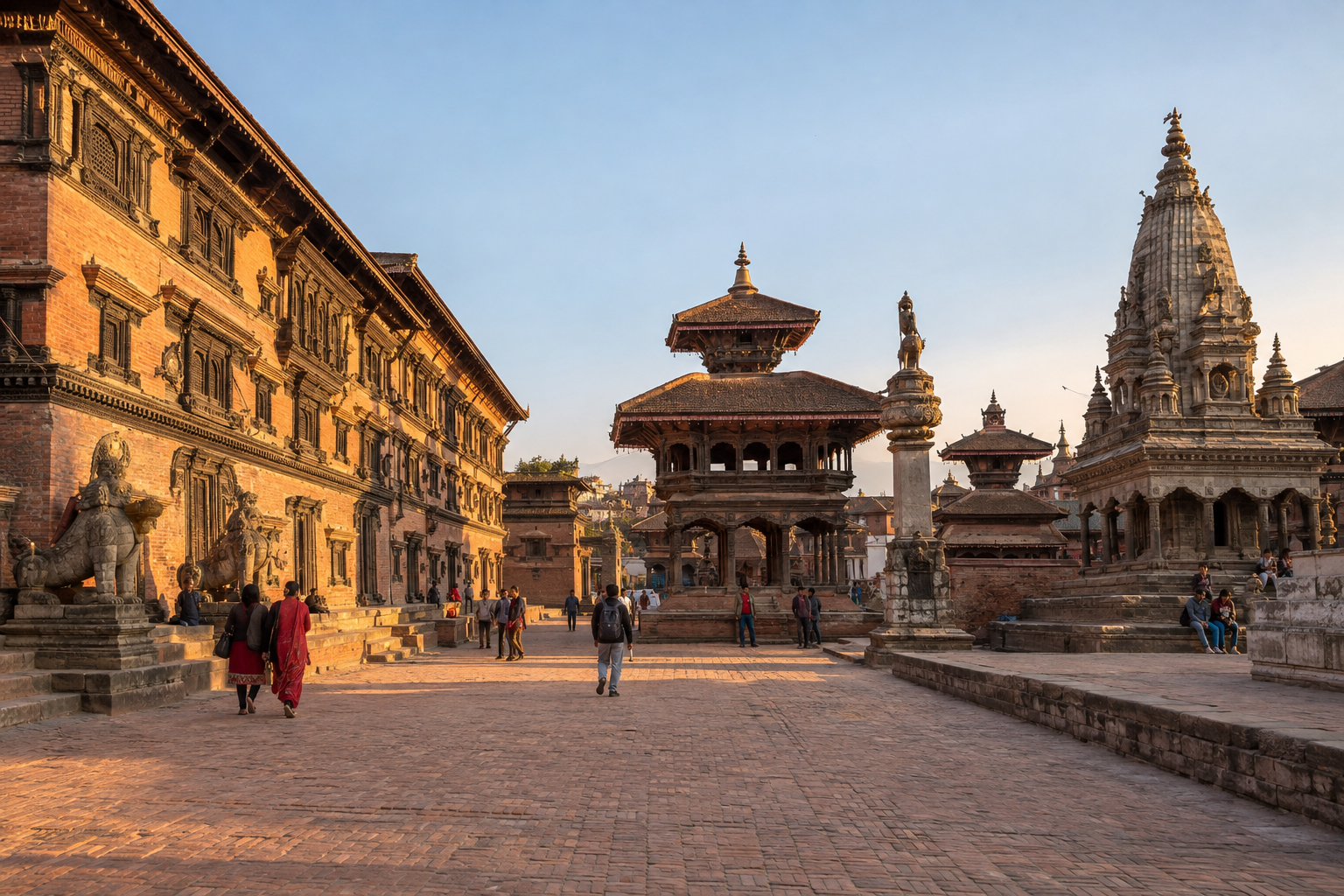
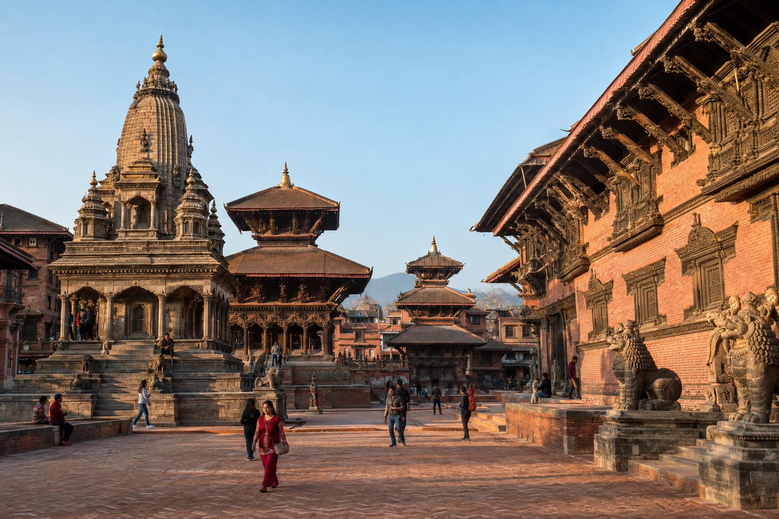
Bhaktapur, once an independent Malla royal capital, preserves a visible legacy of the Kathmandu Valley’s rival kingdoms. · AI-generated illustration
On a modern map, Nepal forms a familiar strip between India and China, rising from the southern plains towards the Himalayan peaks. Its outline makes the country look like a single, settled geographical idea. Yet that outline cannot simply be carried backwards through time. Across the lands now within Nepal, rulers once governed separate courts, hill principalities, trading towns and lowland territories. Their borders shifted, their alliances changed, and their authority was not always as clear on the ground as a coloured map might suggest.
To explore Nepal before unification is to replace one national outline with a more complicated political landscape. The Kathmandu Valley contained rival Malla kingdoms. Farther west, numerous hill states occupied a region shaped partly by the legacy of the Khasa kingdom. Sen rulers held territories across parts of the hills and plains, while eastern communities and political authorities had their own arrangements of power. These were not merely empty spaces waiting to become a country. They were places with institutions, sacred landscapes, economic connections and histories of their own.
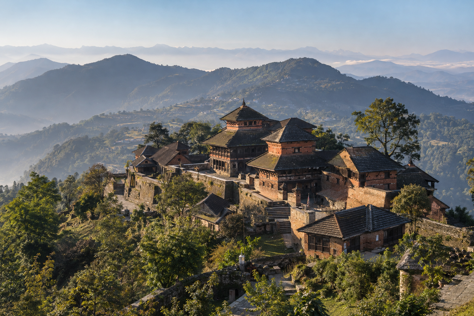
The word “forgotten” needs care. These kingdoms are often overlooked in brief national summaries, where the story moves quickly towards Gorkha’s expansion and the creation of a larger state. They are not necessarily forgotten by the people who live among their remains. A ruined fort may still anchor local stories. A former palace square may remain a setting for worship, festivals and everyday business. Community traditions, family histories and local scholarship can preserve memories that receive little space in a schoolbook or a general travel guide.
This journey uses maps as a starting point, not as a final answer. We will move from the closely connected courts of the Kathmandu Valley to the scattered states of the west, then towards the Sen kingdoms and the eastern political landscape. Along the way, the question is not only “Who ruled here?” It is also “What did rule mean here?” A king might control a fortified town and its surrounding farmland more directly than a distant valley. Tribute, negotiation and local authority could matter as much as a line marking a frontier.
Geography helps explain this variety, but mountains alone do not explain it. Ridges and rivers could divide neighbouring territories, while passes and river valleys connected them. Routes carrying salt, grain, textiles and other goods linked settlements across political boundaries. Pilgrims, craftspeople, merchants and religious teachers also travelled between centres of power. A map showing separate kingdoms should therefore reveal connections as well as divisions. Political rivalry did not prevent cultural exchange, and a border did not necessarily mark the edge of a language, a trading network or a religious tradition.
There is also no single moment that represents the whole era before unification. A map of one century will differ from a map of another. Kingdoms grew, divided, lost territory or disappeared; familiar names could refer to different areas at different times. Even the meaning of “Nepal” has changed: in many historical contexts, the name referred more narrowly to the Kathmandu Valley rather than to today’s entire country. Keeping time and terminology in view prevents a useful historical map from becoming a misleading one.
The aim is not to replace a national story with a romantic picture of lost kingdoms. These societies also contained inequalities, conflicts and struggles over resources. Instead, looking beyond today’s outline makes Nepal’s history richer and more understandable. Before following how Gorkha’s conquests changed the political map, we need to see the many centres already on it—and recognise that their legacies remain visible in the places, traditions and identities of Nepal today.
Reading the Map: Dates, Sources and Uncertain Borders
A map of Nepal before unification needs a date before it needs a border. Kingdoms grew, divided and lost territory, while relationships between rulers changed. Placing every state mentioned in Nepal’s history on one map would create a landscape that never existed. A useful starting point is around 1740: a reference period before Prithvi Narayan Shah became king of Gorkha in 1743 and began the campaigns associated with Nepal’s unification.
That date should remain an organising tool, not a claim of perfect knowledge. A map labelled “around 1740” may draw on evidence from nearby years, but its notes must identify those dates. If a place is documented under one ruler in 1735 and another in 1750, its status in 1740 should not be presented as certain without further evidence.
Keep Different Centuries on Different Maps
The main map should show the political landscape around the reference date. Separately dated inset maps can explain earlier states, including the Khasa Malla kingdom, without implying that their greatest extent survived into the eighteenth century. Where an earlier state’s reach changed substantially, choose a specific period rather than combining its conquests into one permanent-looking territory.
Later expansion also belongs in separate insets. Each should show a clearly stated stage or date range, rather than placing all Gorkhali gains over the 1740 landscape. This keeps the distinction between the states that existed before conquest and the territory controlled at a later moment. Readers should be able to tell whether they are looking at a political snapshot or a sequence of changes.
Use Modern Nepal Only to Locate Places
A faint outline of present-day Nepal can help readers orient themselves, but it must be labelled modern boundary, shown for reference only. It should not become the outer frame of the historical world. Political relationships, trade routes and military activity crossed today’s borders, linking Himalayan valleys with Tibet and the plains to the south.
Rivers, mountain passes and familiar settlements often provide better orientation than modern administrative divisions. Even these need care: a river may have marked a frontier in one period but not another. Modern place names can appear alongside historical names where identification is secure; uncertain matches should be marked as such.
Make the Legend Explain Power
A coloured patch can suggest more certainty than the sources allow. The legend should distinguish several kinds of evidence rather than treating every connection to a ruler as direct territorial control:
- Capitals and royal seats: Use distinct symbols for principal capitals and other documented court locations. A royal seat alone does not establish the limits of a kingdom.
- Documented control: Use shading where evidence supports administration, taxation, appointments or sustained possession during the mapped period.
- Tributary relationships: Use arrows or another separate symbol for tribute obligations. Tribute did not necessarily mean direct administration or the loss of local rule.
- Approximate frontier zones: Use hatching rather than hard lines where evidence is weak, authority was contested or the transition between powers was gradual.
Political authority could overlap. A local ruler might manage everyday affairs while acknowledging another court’s superiority. Different powers could claim revenue, military service or rights over the same area. Such arrangements should be explained in notes, not forced into mutually exclusive blocks of colour.
Give Every Map a Source Trail
Every map needs its own date and source citations, including insets. Cite the scholarship and underlying evidence used where available: inscriptions, land grants, chronicles, correspondence or administrative records. Give page or document references, distinguish the source’s date from the period it describes, and explain conflicting interpretations. “Approximate” is useful only when readers can see what remains uncertain and why.
The Kathmandu Valley’s Three Malla Kingdoms
The Kathmandu Valley was not a single kingdom in Nepal before unification. Its three principal Malla capitals—Kathmandu, Patan and Bhaktapur—stood close together, yet each supported a separate royal court and political identity. Their rulers shared much of the Valley’s Newar cultural world, including artistic traditions, religious practices and commercial networks. Shared culture, however, did not mean shared government. These were neighbouring powers whose relationships shifted between rivalry, negotiation and alliance.
Finding the Three Capitals
On an eighteenth-century reference map, first locate the Kathmandu Valley, then identify its three royal centres. Historical names vary across sources, so recognising the alternatives helps prevent confusion:
- Kathmandu, or Kantipur: Find it in the western part of the Valley’s central urban area, north of the Bagmati River. Today, Kathmandu Durbar Square and the Hanuman Dhoka palace complex provide the clearest orientation point for its historic court.
- Patan, or Lalitpur: Look south of Kathmandu, across the Bagmati. Patan Durbar Square marks its royal centre. The short distance between the two palace areas can make their former political separation surprising to modern visitors.
- Bhaktapur, or Bhadgaon: Look farther east, along the Valley’s eastern agricultural plain. Bhaktapur Durbar Square anchors the old royal city, although its historic urban landscape extends well beyond the palace precinct.
These points locate capitals, not kingdom boundaries. A dot beside a palace cannot tell you which ruler controlled a distant village, river crossing or hillside approach. Nor should today’s municipal or district lines be projected backwards. The modern built-up area makes Kathmandu and Patan appear almost continuous, while an eighteenth-century view would reveal a different arrangement of towns, cultivated land and settlements.
Separate Courts, Connected Cultural Worlds
Each capital had its own ruler, palace establishment and networks of officials, religious institutions, merchants and craftspeople. Royal authority was expressed through administration and revenue collection, but also through public ceremony and patronage. Temples, courtyards, water structures and festival traditions helped make kingship visible within the city.
The palace squares are therefore useful places to read political history in the landscape. Their architecture reflects overlapping periods of construction, repair and later change, rather than a single frozen Malla moment. Even so, their distinct palace complexes show why the Valley needs three royal markers on a historical map. Artistic exchange linked the courts, while competition encouraged rulers and patrons to display prestige through building and religious gifts.
The Countryside Behind the Palaces
The kingdoms were more than their walled streets and monumental centres. Their power depended on agricultural hinterlands: villages, irrigated fields and other productive land that supplied food and supported revenue. Rice-growing lowlands and cultivated terraces sustained urban populations, court households and religious establishments. Water management and access to farmland mattered alongside control of markets.
Think of each capital as the centre of a wider, uneven web of authority. Rights over land, taxation and local institutions could be layered, and political influence could change through disputes or agreements. Where a map shows a firm boundary, it is worth asking whether the evidence establishes territorial control or merely suggests an approximate sphere of influence.
Trade Routes as Sources of Rivalry
The Valley also occupied an important position in trade linking Tibet with the plains to the south. Routes through mountain approaches and southern passes fed its markets, where merchants exchanged goods and rulers sought income and influence. Competition concerned not simply possession of a city, but access to routes, market centres and places where duties could be collected.
Roads, rivers and passes thus belong beside palace symbols on the map. Together they explain how three nearby courts could remain distinct powers, each dependent on connections reaching beyond its capital.
Western Nepal: Khasa Legacies and the Baise–Chaubise States
Western Nepal before unification was not a tidy arrangement of small kingdoms with fixed borders. Its political landscape grew from older centres of power, divided ruling houses and shifting alliances. To understand it, readers need two views: a medieval inset showing the Khasa Malla realm, and a later map locating the hill states usually grouped as the Baise and Chaubise.
Begin with a separately dated Sinja inset
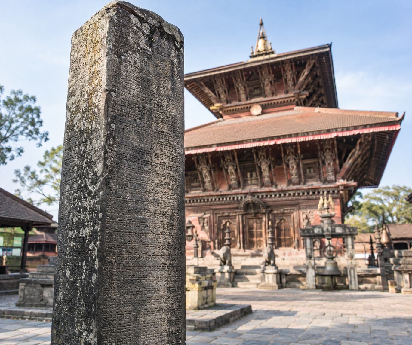
Label the inset “Khasa Malla realm, approximately thirteenth–fourteenth centuries.” Place Sinja, in present-day Jumla district, at its centre. The Sinja Valley was an important seat of the Khasa Malla rulers, whose authority reached across much of western Nepal and, at different times, into adjoining Himalayan regions. Their political world followed mountain valleys and routes linking the hills, the Tibetan plateau and the plains.
This inset should show a broad, cautiously shaded area of influence rather than a hard outline claiming equal control everywhere. Inscriptions, monuments and written records help establish the realm’s reach, but they do not provide a complete border survey. Sinja should be identified as a major political and cultural centre, not treated as the exact centre of a neatly bounded territory.
The separate date matters. The Khasa Malla realm fragmented, and its political geography cannot simply be carried forward onto an eighteenth-century map. Later western states inherited parts of this older world, including political traditions and cultural connections, but they were not an unchanged medieval kingdom under new labels. Nor should the shared name “Malla” make readers assume that Sinja and the Kathmandu Valley’s later Malla courts formed one political system.
Locate the Baise and Chaubise without turning them into kingdoms
On the later map, use Baise, commonly translated as “twenty-two,” and Chaubise, “twenty-four,” as regional group labels. They refer to clusters of principalities, not two unified kingdoms. Neither had a single permanent capital or a ruler who consistently governed every member. Lists differ with the period and source, while divisions, alliances and unequal power complicate the apparently precise numbers.
- Jumla: Locate this important later kingdom in the Karnali region, close to the older Sinja heartland. It belonged to the Baise political landscape, but its territory should not be drawn as identical to the earlier Khasa Malla realm.
- Doti: Place Doti farther west, in the far-western hills. Usually counted among the Baise states, it was a significant kingdom in its own right, not merely a district administered from Jumla.
- Gorkha: Mark Gorkha toward the eastern side of the Chaubise landscape. Before its expansion, it was one hill kingdom among several, rather than the already established centre of a united Nepal.
- Lamjung and Kaski: Locate Lamjung west of Gorkha and Kaski farther west around the Pokhara region. Both were important Chaubise kingdoms with their own ruling interests and relationships with neighbouring states.
These points give readers a useful west-to-east orientation without implying an exhaustive membership list. A kingdom might be independent in one context yet acknowledge a stronger neighbour in another. Influence could also extend beyond the land a ruler administered directly. Where evidence is uncertain, mark the seat of power clearly and leave the outer boundary approximate.
Keep Mustang distinct
Identify Mustang, especially the kingdom of Lo, separately in the upper Kali Gandaki region, north of Kaski. Its Tibetan cultural setting, ruling history and trans-Himalayan connections deserve their own label. Relationships with neighbouring powers changed over time; it should not be absorbed automatically into a Baise or Chaubise block.
Across the western hills, use river corridors, passes and named capitals to explain connections. Avoid equal-sized coloured tiles: mountain power was uneven, overlapping and rarely as orderly as a modern administrative map suggests.
The Sen Kingdoms and the Eastern Political Landscape
The Sen kingdoms add another layer to the map of Nepal before unification. Their ruling houses shared dynastic connections, but Palpa, Makwanpur, Chaudandi and Vijayapur were not simply provinces of one enduring state. Inheritance, partition, warfare and local alliances produced separate centres of power. Their territories linked hill settlements with the Tarai, where farmland, markets and routes towards the plains supported royal income. Yet a ruler’s claim over a region did not necessarily mean that royal officials governed every village.
Palpa and Makwanpur: Connected Houses, Different Paths
Palpa lay in the western hills, around present-day Tansen and the surrounding country. Although west of the eastern kingdoms discussed here, it is important to understanding their Sen connections. Mukunda Sen of Palpa is associated with an expansion of Sen power during the sixteenth century. Accounts of his campaigns and the division of his domains require care: later genealogies can make dynastic reach look more settled than it was.
Palpa’s strength rested partly on its position between hill routes and the lowlands around Butwal. These connections helped move goods, people and revenue between different ecological zones. Its later history also differed from that of the eastern Sen kingdoms. Palpa survived their conquest, maintaining a separate court and sometimes cooperating with Gorkha before it, too, was absorbed. Shared ancestry did not produce a shared political fate.
Makwanpur, centred on the hill fort of Makwanpurgadhi near present-day Hetauda, occupied another strategic meeting point. Its rulers could influence movement between the Tarai and approaches to the Kathmandu Valley. Lowland resources mattered alongside the defensive advantages of its hill position. Makwanpur had its own Sen court and succession struggles; it should not be shown as a permanent eastern extension of Palpa. Its defeat by Gorkha removed a significant power on the Valley’s southern approaches.
Chaudandi and Vijayapur: Eastern Centres of Power
Chaudandi was centred in the hills of present-day Udayapur, near Beltar. Its Sen rulers held a domain connecting hill country with eastern Tarai lands. Paths through river valleys and across lower ridges linked settlements, while access to cultivated lowlands strengthened the court’s resource base. Chaudandi emerged as a separate kingdom within the wider history of Sen expansion and division, rather than remaining a stable district under a distant family capital.
Vijayapur, on the hills above present-day Dharan, stood near routes linking the eastern Tarai with the interior. Its political history was not exclusively Sen: earlier local ruling traditions and powerful non-Sen officeholders also shaped the state. Under Sen rulers, authority depended on relationships with regional leaders as well as the royal household. Chaudandi and Vijayapur fell to Gorkhali expansion separately, and their incorporation involved different local circumstances.
Beyond the Royal Capitals
Farther east, Limbuwan is essential to understanding why a map of royal capitals is incomplete. Associated broadly with Limbu homelands east of the Arun, it contained multiple local centres of authority, not one uniform kingdom. Limbu chiefs exercised powers rooted in community relationships, territory and customary landholding. Their dealings with Vijayapur’s rulers could involve tribute, recognition and alliance without amounting to continuous, direct administration from the court.
Other eastern communities, including groups now commonly identified as Rai, likewise had local leaders and political arrangements that cannot be reduced to a single royal boundary. Relationships varied between places and changed over time. Negotiated recognition of chiefly authority and customary rights also became important during Gorkhali incorporation, though such arrangements were neither identical everywhere nor secure forever.
On a historical map, therefore, distinguish royal centres, claimed territories and locally exercised authority. The eastern landscape was a network of overlapping relationships, not a single kingdom waiting to receive a new name.
How Unification Changed the Map
The map of Nepal before unification did not become a national outline in a single campaign. Gorkha-led expansion under Prithvi Narayan Shah, and later under his successors, joined territories through warfare, negotiated submission and agreements with local leaders. Different places entered the growing kingdom on different terms. A useful map therefore needs several dated layers, not one bold line labelled “1769.”
From Gorkha to the Kathmandu Valley
Prithvi Narayan Shah became king of Gorkha in 1743. His capture of Nuwakot in 1744 gave him a strategic foothold on an important route between the Kathmandu Valley and Tibet. The struggle for the valley involved more than attacks on its cities: controlling surrounding hills, passes and trading routes helped weaken the Malla kingdoms before their final defeat.
- 1762: Makwanpur. Gorkha conquered this Sen kingdom south of the valley, strengthening its position along routes connecting the hills with the plains. This layer shows that expansion was already reaching beyond the immediate approaches to Kathmandu.
- 1768: Kathmandu and Patan. Both Malla capitals came under Gorkhali control. Their capture shifted the political centre of the expanding kingdom towards the valley, with Kathmandu becoming its capital.
- 1769: Bhaktapur. The defeat of the last independent Malla kingdom completed the conquest of the valley’s three principal kingdoms. It did not complete the territorial formation of modern Nepal.
These dates mark major transfers of power, rather than moments when every village immediately acquired the same administration. On a historical map, colouring a conquered kingdom can show a change in sovereignty, but it cannot fully describe how authority worked within that space.
Expansion Beyond the Valley
Gorkhali campaigns next extended control across much of eastern Nepal. By 1774, expansion had reached the Limbu country in the far east. Military pressure operated alongside negotiated arrangements with local chiefs. Agreements recognising forms of local authority and customary landholding helped incorporate communities without simply replacing every existing institution.
Prithvi Narayan Shah died in 1775, but expansion continued under his successors and their regents and commanders. Western campaigns absorbed numerous hill states. Gorkhali forces conquered Kumaon in 1791 and Garhwal in 1804, eventually pushing their influence towards the Sutlej. Parts of today’s Indian Himalayan region thus belonged to the expanding Gorkhali realm for a time. A map of this high-water mark would extend well beyond Nepal’s present western border.
Incorporation was uneven. Some rulers were displaced; some local elites retained influence by accepting the new monarchy. Existing revenue arrangements, religious endowments and customary rights could continue, though their recognition and enforcement varied. In Limbu areas, communal landholding known as kipat survived under changing state oversight. Such continuities did not mean independence: communities and intermediaries still faced obligations involving revenue, allegiance, labour or service. Conquest and accommodation often worked together.
Later Treaties Drew Different Borders
The next essential overlay belongs to the Anglo-Nepalese War of 1814–1816 and the Treaty of Sugauli in 1816. The settlement sharply reduced Gorkhali territory, requiring Nepal to relinquish claims west of the Kali River, including Kumaon and Garhwal, as well as eastern and Tarai territories. This was a contraction of an already expanded state, not the completion of Prithvi Narayan Shah’s valley conquests.
Further adjustments followed. Some Tarai territory was restored later in 1816. In 1860, Britain returned western Tarai lands corresponding broadly to today’s Banke, Bardiya, Kailali and Kanchanpur districts, following Nepal’s assistance during the Indian rebellion of 1857. Often called Naya Muluk, or “new country,” these lands changed the outline again.
The clearest visual sequence therefore separates the valley conquest of 1769, later eastward and westward expansion, the losses of 1816 and the restoration of 1860. None should be mistaken for the same map.
Conclusion: Nepal’s Past Needs More Than One Map
Nepal before unification was not a finished puzzle waiting for its pieces to be joined. It was a changing political landscape, shaped by rival courts, inherited claims, local alliances, military campaigns and negotiations. The boundaries we draw around its former states can help us understand that landscape, but they can also make it look more settled than it was. Nepal emerged through successive changes in power, not through a single merger of clearly bounded kingdoms.
This is the central lesson of looking beyond the modern national outline. The Kathmandu Valley’s Malla kingdoms, the western states associated with Khasa legacies and the Baise–Chaubise groupings, and the Sen kingdoms belonged to different political settings. Their relationships cannot be reduced to one neat pattern. Nor should their histories be treated only as a preface to unification, as though their importance depended entirely on what came after them.
A useful historical map therefore answers a limited question: what can we reasonably say about political authority in this place at this time? It does not reveal every relationship that held a region together. A ruler’s claim, the collection of revenue and effective control over a distant settlement were not necessarily the same thing. A sharp line on a page may conceal those differences rather than explain them.
Read the Border, Then Read the Evidence
Before trusting a map of Nepal before unification, begin with its date. Does it represent a particular moment, or combine information from a longer period? If two maps disagree, they may show different stages of political change rather than a simple error. A map without a clear time frame is difficult to interpret, however convincing its colours and labels appear.
Next, look for the evidence behind it. Inscriptions, chronicles, administrative records and later historical studies can offer different kinds of information. A source may identify a ruler or record a claim without establishing a complete territorial boundary. The important question is not merely whether a map cites sources, but whether those sources support the precision of what is drawn.
- Check the date: Know when the map places its borders, and whether that date is approximate.
- Check the meaning: Ask whether a shaded area represents direct rule, a claimed territory or a broader sphere of influence.
- Check the uncertainty: Look for notes explaining disputed areas, incomplete evidence and reconstructed boundaries.
These checks do not make historical maps less useful. They make them more useful by showing what each can—and cannot—tell us. Where evidence is incomplete, an approximate boundary or an explanatory note is more honest than an apparently exact line. Comparing carefully documented maps can reveal change that a single image hides.
A Political Past That Still Matters
The former states also belong to more than the history of borders. Their memory remains connected to places people inhabit, visit, worship in and identify with. Palaces, temples, settlement names and regional traditions can keep earlier political worlds visible within present-day Nepal. Their meanings may differ between communities, and a surviving monument does not speak for everyone who once lived under a particular court.
Recognizing this living regional memory does not require imagining the old kingdoms as timeless or culturally uniform. It means allowing local histories to retain their depth within a national story. Unification changed political relationships, but it did not make everything that preceded it irrelevant. The most revealing map is therefore not the one that claims to settle every border. It is the one that helps us ask better questions—and reminds us that Nepal’s past needs more than one map.